Overview

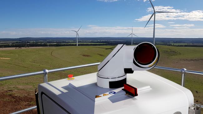
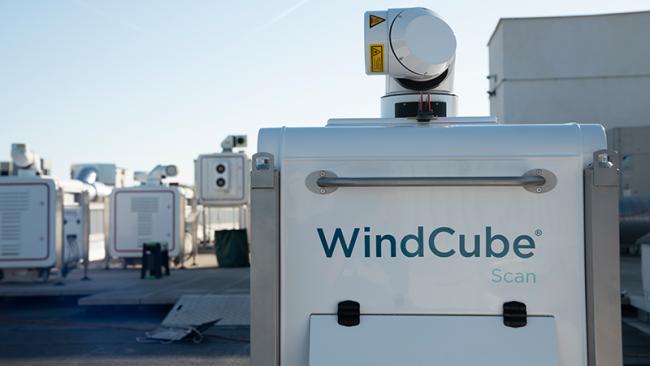
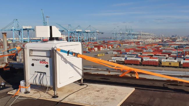
Modern, laser-based weather sensors capture 3D spatial wind data for detailed situational awareness in every corner of complex port areas — making it an invaluable asset for understanding wind behaviors and patterns. By better understanding the spatial distribution of the wind field, ports can improve traffic management significantly.
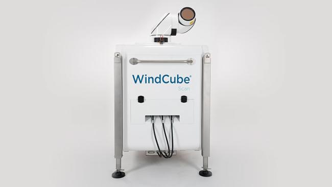
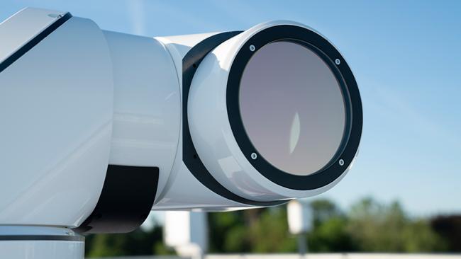
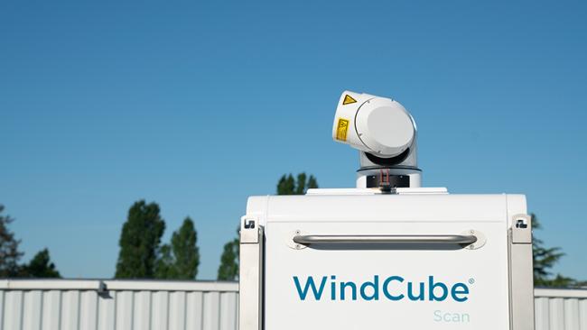
WindCube® Scan Explore Edition is the industry’s tool of choice for maximizing safety, efficiency, and operational continuity. By providing precise spatial wind data at ranges up to more than 10 km, WindCube Scan can create a virtual dome around the port area (the equivalent of thousands of anemometers) so you can measure, understand and act on current — and ever-changing — conditions. This capability enhances the efficiency and safety of crane operations, ensuring smooth and secure operations even in challenging conditions. Moreover, the precise wind data supports the improvement of Dynamic Mooring Systems, preventing damage and ensuring secure berthing.