WindCube Scan

The wind lidar of choice for onshore and offshore wind measurement and full, 3D spatial awareness.

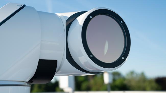
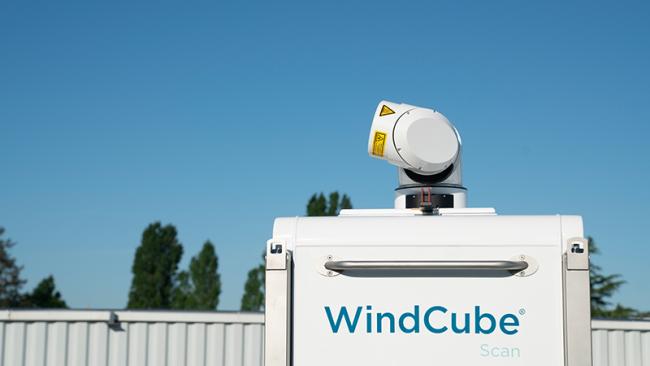
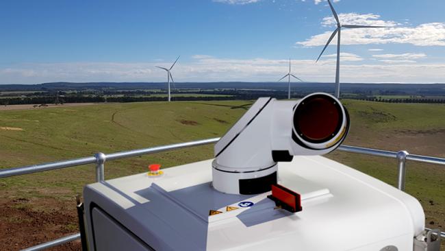
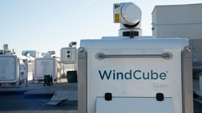
    The world’s leading scanning lidar

    Image
    Vaisala WindCube Scan


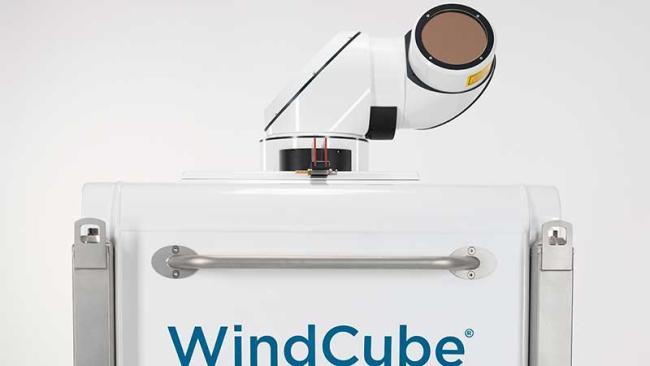
    WindCube® Scan is the most trusted and reliable scanning wind lidar. It is the tool of choice for providing reliable, precise spatial wind data at any stage of a project, and it is widely recognized for its superior data, unmatched flexibility, and excellent servicing backed by Vaisala’s global support network.

    Because of WindCube Scan’s versatility and accuracy, it has become the standard choice for ambitious new projects across several industries. It continues to enable previously impossible innovations — including dual lidar scanning.

    Unmatched, 3D wind data

    Image
    LIFT-image-Wind-Energy-17-650x365


    WindCube Scan offers full 3D scanning with its breakthrough measurement range extending beyond 18km as well as multiple scanning patterns.​ The system boasts outstanding uptime and reliability under even the harshest conditions, and its wide array of assessments allow for new levels of situational awareness and decision-making.

    The system also provides 3D fast scan capability, as well as fully configurable scanning setups to accommodate various campaign types and needs. An available wind reconstruction tool and APIs further enhance its performance.

    Unrivaled flexibility

    Image
    WindCube Scan


    WindCube Scan is easily repurposed to support a variety of applications, providing outstanding value over time. It is built to provide users maximum flexibility, from its adaptability to many campaign types to its modern API, FTP, and GUI functionalities.

    WindCube Scan is also simple and fast to deploy, rugged enough for the harshest conditions, and reliable over a long service life. It avoids common permitting and regulatory hassles while providing data that is superior to traditional wind assessment methods.

    Dual lidar ready

    Image
    Vaisala WindCube Scan dual lidar for wind energy


    The WindCube Scan Dual Lidar Ready offering provides an enhanced picture of wind resource profiles through seamless data integration using two lidars. This provides previously unheard-of accuracy and bankability for emerging offshore wind energy projects, with the convenience and cost-efficiency of onshore lidar deployment.

    LEARN MORE

    Next-gen software

    Image
    IRIS Focus


    With the increasing frequency and severity of extreme weather events due to climate change, understanding ever-changing meteorological phenomena is crucial in order to anticipate potential risks to people, activities and goods.

    Having the ability to quickly analyze detailed weather data and generate real-time weather-related alerts to take well-informed decisions is stronger than ever.

    With IRIS Focus, Vaisala is leading the evolution of remote sensing software while combining data from Weather Radars, Wind Lidars and Lightning at a glance. The software provides the user with a comprehensive view to help better understand weather hazards such as storms, windshear, turbulence, precipitation and more, for:

    • Earlier extreme weather and storm predictions and analyses
    • Quicker decision-making for events that may impact your environment
    • More accurate precipitation classification
    LEARN MORE
    Vaisala team collaborating in office

    Get Started with WindCube Scan

    Bring powerful, 3D spatial wind awareness to your projects with the most reliable, trusted scanning lidar anywhere. Contact us now to talk about WindCube Scan and how Vaisala can help.

    CONTACT US