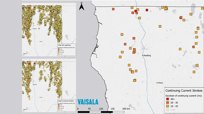
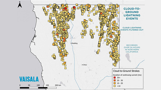
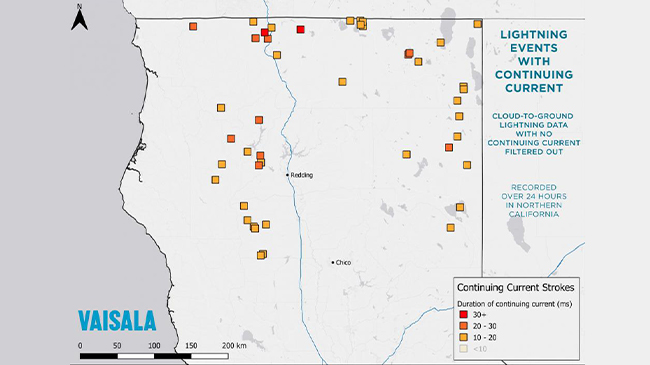
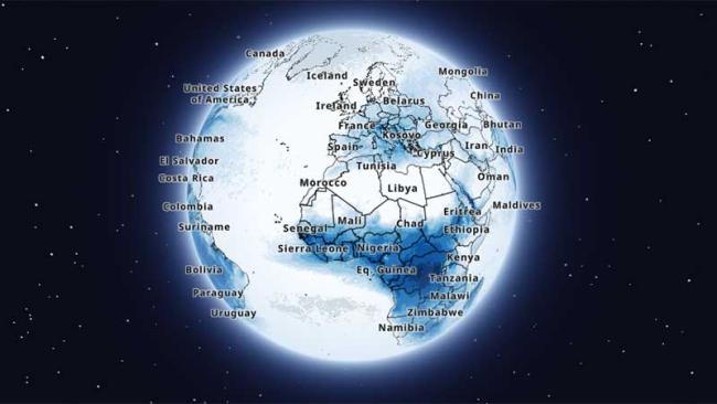
Continuing Current Dataset Lightning data that filters for continuing current lightning events — the 10% of strikes with the potential to create the most damage. Pioneering Approach Pioneering Approach This is a first-of-its-kind system that compiles data from satellite-borne lightning sensors with data from the Vaisala National Lightning Detection Network (NLDN) and Global Lightning Detection Network (GLD360). It’s filtered in real-time for immediate insight on potentially destructive lightning anywhere in North and South America. Likely to damage Likely to damage Lightning strokes with continuing current can have a duration hundreds of times longer than a normal stroke, and transfer significantly more electric charge, which can cause substantial damage due to extreme heating Real-time precision Real-time precision Advanced data sequencing progressively filters lightning events as they are detected to eliminate the less destructive cloud-only and cloud-to-ground lightning as they occur. This identifies the most potentially destructive events, delivering real-time lightning data that includes date and time with accuracy to the millisecond, latitude and longitude, and event duration. Targeted response Targeted response In what can often be a guessing game of resource deployment, knowing the precise location and duration of the lightning events with the most potential for damage helps increase the effectiveness of incident response teams and helps speed resolution. Resources INTERACTIVE MAP Global Lightning Density Map See where lightning strikes with the Vaisala Xweather interactive global lightning density map. Compare the average number of lightning events per km2 per year for every country then zoom in to see how much lightning occurs in your state or province. VIEW THE MAP Accurately deploy inspection and post-storm resources Contact us for real-time lightning data that separates out continuous current lightning events, anywhere in the world. Contact us