eBook
eBook: How lidar is becoming standard for Wind Resource Assessment
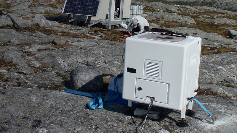
Wind far developers are leveraging standalone lidar for WRA in simpler terrains. In more complex terrains, they are leveraging WindCube’s integrated and patented Flow Complexity Recognition (FCR) software or working with partners to use the Computational Fluid Dynamics (CFD) correction method.
Offshore, Floating Lidar Systems and fixed lidar installations are the standard for WRA and have almost completely replaced met masts.
It’s easy to see why lidar is becoming standard for WRA: Speed of deployment, measuring capabilities and accuracy with ever-growing hub heights, cost, mobility, and reusability to name a few.
Get this guide to learn more about the state of WRA today.
You can modify your preference settings or unsubscribe at any time here