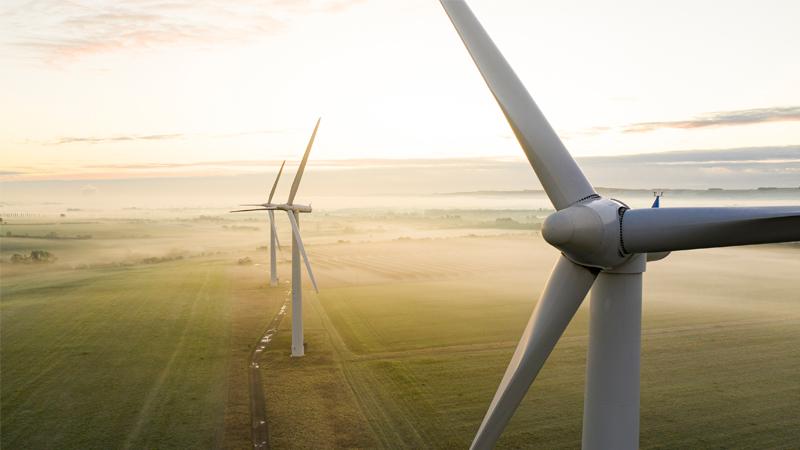
Learn how scanning lidar can take your wind measurements further than ever.
Scanning lidar provides complete, spatial wind data at any stage of a wind project – onshore and offshore, in all types of environments. For example, WindCube® Scan is already proven for its exceptional accuracy and versatility in the dual lidar configuration for offshore-from-the-shore Wind Resource Assessments (WRA).
Join our panel as experts from Fraunhofer IWES, DNV and Vaisala provide an insider’s look at new use cases for scanning lidar, including reducing WRA uncertainty in complex terrain and how to increase the accuracy of Turbulence Intensity measurement.
What we’ll cover:
- Complex terrain: how scanning lidar reduces WRA uncertainty, standardization and recommendations, R&D campaigns with scanning lidar, and scanning lidar calibration and uncertainty.
- Turbulence Intensity: How to perform measurements using scanning lidar with an overview of the procedure, what to expect, parameters that influence uncertainty, and examples.
IF YOU HAVE ALREADY REGISTERED FOR THIS WEBINAR, PLEASE USE THIS LINK.
You can modify your preference settings or unsubscribe at any time here
