Using cutting-edge remote sensing technology to gain insights on severe weather and air
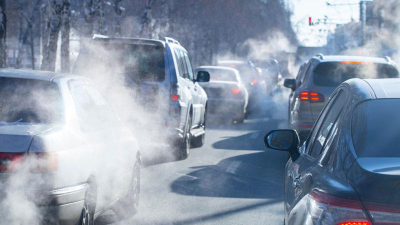
In an era defined by climate change, the challenges faced by our cities are more pressing than ever before. Rising global temperatures have set the stage for a slew of consequences, including an increased frequency of extreme weather events. However, another silent contributor to this dilemma is urbanization, which has led to higher greenhouse gas emissions and pollution levels in cities across the globe.
One of the most notable effects of urbanization is the creation of urban heat islands. These metropolitan areas experience significantly higher temperatures than their rural counterparts due to manmade structures such as roads and buildings, which absorb and radiate solar energy. This phenomenon amplifies the severity of both heatwaves and heavy rains, making cities more susceptible to extreme weather events.
Population density is yet another pivotal factor. As cities become more crowded, energy consumption, waste generation, and pollution levels inevitably surge. With more people in urban areas, the environmental impact of cities intensifies, exacerbating their vulnerability to pollution and severe weather.
The implications of these factors are clear: cities are increasingly susceptible to the adverse effects of pollution and extreme weather events. To tackle this growing vulnerability, we must prioritize enhancing the environmental resilience of urban areas. This journey begins with a thorough understanding of the key factors that contribute to pollution and weather formation.
One critical element in the formation of air quality is the "mixing layer height." This parameter indicates the height within the atmosphere where air is actively mixed. When the mixing layer is low, pollutants become concentrated in a smaller volume, leading to higher pollution concentrations. Conversely, as the mixing layer rises during the day under the influence of sunlight, pollutants become diluted across a larger volume, resulting in lower pollution concentrations.
Another influential factor is wind. Wind patterns can significantly affect air quality by transporting pollutants within and between cities. Moreover, wind plays a crucial role in weather dynamics, as it transports moisture from the sea to the continent, where it can eventually lead to rainfall.
Monitoring air quality and weather conditions can occur at various levels of the atmosphere. Ground-level measurements using sensors help us understand conditions in specific locations at specific times, including the concentration of particulate matter such as PM2.5 and PM10. However, for a comprehensive understanding of pollution formation, we must also consider information above ground level, particularly regarding mixing layer height and wind patterns. Remote sensing technology provides a solution for this challenge.
Doppler wind lidars and ceilometers are commonly employed for monitoring mixing layer height. Lidars send laser beams into the atmosphere, measuring the intensity and returning time of backscattering signals from aerosols. The Vaisala CL61 ceilometer, for example, provides valuable information on cloud height, attenuated backscatter profiles, and, uniquely, depolarization ratio profiles. This feature enables the differentiation of liquid and solid particles, provides insights into cloud phases, and even allows for the tracking of volcanic ash and other solid particles.
For wind measurements, the Windcube Scan lidar is a valuable tool capable of scanning the atmosphere both vertically and hemispherically. This technology offers long-range, high-resolution wind data, making it an invaluable asset for understanding and predicting wind patterns in urban areas.
The introduction of the new generation Vaisala Windcube Scan, known for its ease of maintenance and deployment, is particularly suited for urban and industrial settings. It can measure wind profiles up to the top of the atmospheric boundary layer, providing a comprehensive view of wind behavior in cities and sometimes even beyond.
In conclusion, as cities face the dual challenges of increased pollution and more severe weather events, it is imperative that we prioritize their environmental resilience. To achieve this, we must leverage advanced technologies like Doppler wind lidars, ceilometers, and remote sensing tools to monitor critical parameters such as mixing layer height and wind patterns. These innovations offer the hope of a more sustainable and resilient urban future in the face of a changing climate.
