Start of thunderstorm season in the U.S.


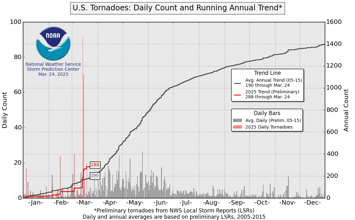
March in the Northern Hemisphere marks the end of winter and the beginning of spring. As warmer temperatures and tropical moisture return to southern portions of the United States, thunderstorm season begins. The start of severe weather season coincides with the return of the thunderstorm activity and hail, wind, and tornado reports increase. Unfortunately, this turned out to be the case in the early morning hours of March 3, when strong tornadoes impacted central and eastern Tennessee.
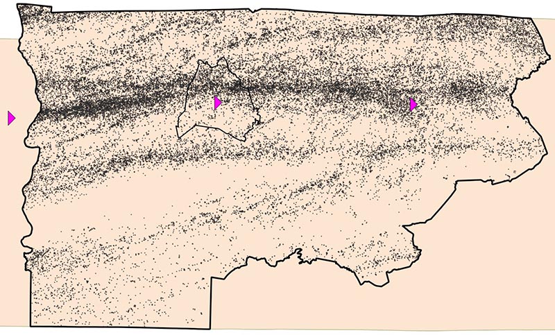
Vaisala owns and operates the National Lightning Detection Network (NLDN) in the United States. The NLDN detects total lightning (in-cloud pulses and cloud-to-ground strokes) across the Continental United States and detected more than 223 million lightning events in 2019. Tennessee saw 4,564,958 total lightning events in 2019. In just 15 hours between 0000 UTC on March 3 (6 pm Central Standard Time on March 2) and 1500 UTC on March 3 (9 am Central Standard Time March 3), Tennessee witnessed 63,790 total lightning events, including 7,120 that occurred from cloud-to-ground. This is 1.3% of Tennessee’s average annual lightning in just 0.1% of the year.
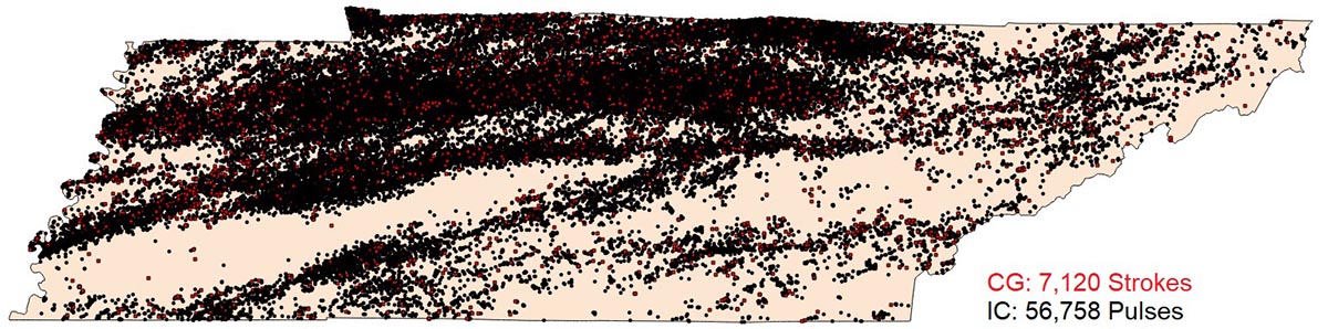
Since significantly more lightning occurs in-cloud (IC) instead of cloud-to-ground (CG), it is especially important to use lightning data from the NLDN – the only lightning detection network that both detects and correctly classifies lightning as IC or CG – when monitoring severe weather. Total lightning data from Vaisala's NLDN provides several benefits to meteorologists, including real-time storm intensity and storm motion monitoring. Using NLDN to monitor both the intensity and motion of a thunderstorm can help meteorologists anticipate when severe weather, including tornadoes, may occur.
As the United States thunderstorm and severe weather seasons continue this spring, Vaisala's NLDN will be monitoring the skies for lightning without fail.
