
WindCube® 2.1 XP – Nordic‑ready lidar
WindCube 2.1 XP delivers bankable wind profiles up to 400 m, even in clean‑air Nordic conditions and complex terrain

How WindCube 2.1 XP solves Nordic WRA challenges
Nordic wind projects operate in clean air, complex terrain and demanding grid conditions. Traditional masts can be slow, costly and difficult to permit, while still leaving questions about uncertainty and bankability. Nordic wind projects are growing taller, moving into forests and mountains, and expanding offshore – all in some of the cleanest air on earth. To secure financing and reduce uncertainty in Nordic wind resource assessment (WRA), you need wind data that covers the entire rotor‑sweep and stands up to lender and IE scrutiny.
WindCube® 2.1 XP is the world’s most accurate vertical wind lidar and the first lidar that is IEC‑classified up to 200 m, delivering high‑availability wind profiles even in low‑aerosol and complex terrain conditions. With 20 simultaneous measurement heights from 40 m to 400 m, it covers the full rotor‑swept area of modern turbines to help you de‑risk projects from site screening to operations.
Whether you are a project developer, resource assessment lead or measurement service provider, you can rely on this combination to reduce uncertainty in clean air lidar measurements, accelerate schedules and improve stakeholder confidence in demanding Nordic conditions.
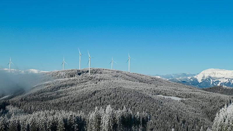
Bankable wind measurement campaigns in cold climates with WindCube® 2.1 XP
In this Nordic‑focused webinar, RES, Ramboll and Vaisala will share practical lessons from a recent Swedish cold‑climate project using WindCube 2.1 XP with winter kit, complemented by sodar. You’ll see how a remote-sensing-first strategy can provide the redundancy and data coverage needed to support energy-yield and turbine-suitability assessments, even in challenging Nordic conditions.
Get bankable wind data in the toughest Nordic conditions
Bankable accuracy
Industry‑leading measurement uncertainties (e.g. 0.35% horizontal wind speed at 200 m) and IEC classification up to 200 m, with profiles to 400 m, give you lender‑ready data for Nordic projects.
Clean air performance
Exceptional data availability in low‑aerosol Nordic conditions, so you can trust your EYAs instead of correcting for missing lidar data.
Complex terrain readiness
Embedded Flow Complexity Recognition (FCR) enhance reliability in remote forested, hilly and coastal Nordic sites.
Faster WRAs with less uncertainty
Replace met masts to get IEC‑classified data months sooner, supporting robust P50/P90 assessments and faster financing decisions.
What makes WindCube 2.1 XP Nordic‑ready
Bankable vertical wind lidar for utility‑scale projects
WindCube 2.1 XP is a ground‑based vertical wind lidar delivering accurate, bankable wind data for utility‑scale projects, complementing or replacing met masts.
High data availability in clean air Nordic conditions
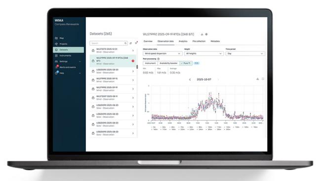
Increased laser power and tuned detector sensitivity improve data availability in low‑aerosol, clean‑air environments – a key challenge in Nordic sites. Compass' Availability Booster further increases availability with advanced cloud‑based post‑processing.
Robust in complex and remote terrain
A vertical beam and Flow Complexity Recognition (FCR) algorithm enable reliable data in moderately complex terrain. Low power consumption and winter kits support cold, remote Nordic locations.
Compass for fleet management and data value
Compass® provides remote configuration, fleet monitoring, secure data hosting, post‑processing, and decision support tools that reduce uncertainty and speed up project decisions.
Pure TI for bankable turbulence intensity
WindCube Pure TI™ in Compass uses physics‑based reconstruction of TI from high‑frequency lidar data. It corrects instrument‑specific biases and closes the gap to cup‑based TI for more accurate site suitability, load and AEP assessments.
Proven and independently validated
WindCube 2.1 XP is IEC classified with extended range and has shown significantly improved data availability without loss of accuracy in DNV trials, making it a trusted choice for bankable campaigns.
Products and services
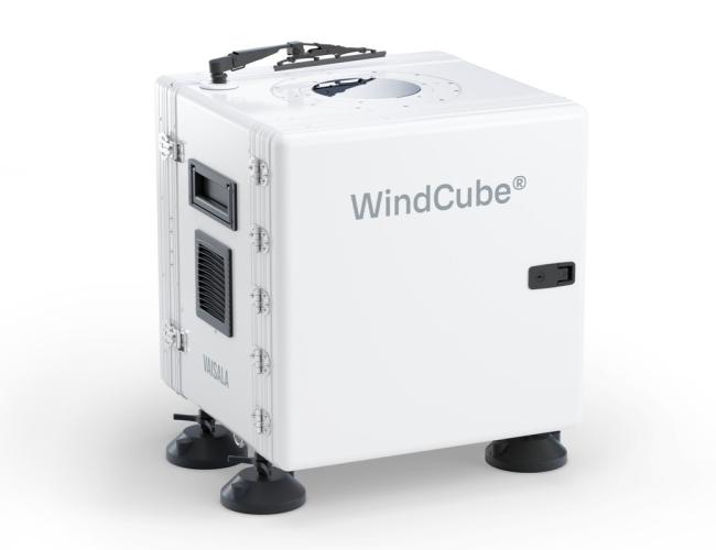
WindCube® 2.1 XP
The industry’s most trusted, bankable, and widely-deployed vertical profiling lidar, ideal for today’s increasing rotor sizes and hub height. Excels in clean air lidar measurements in the Nordics.
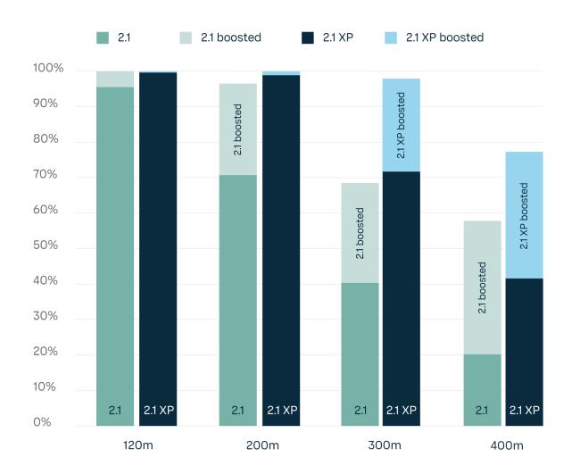
Availability Booster
Recover more data at all heights with Availability Booster. Boosts WindCube data availability with cloud‑based post‑processing, for more robust energy yield assessments.
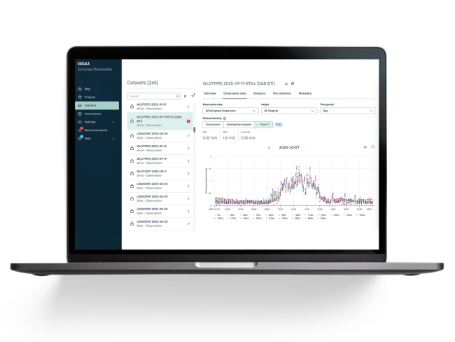
WindCube Pure TI™
A physics‑based turbulence intensity (TI) reconstruction that uses high‑frequency WindCube data to calculate TI more accurately and consistently across measurement heights.
Resources

Get started with WindCube 2.1 XP today
Contact Vaisala to learn how to put the industry's most accurate wind measurement to work for your needs.


