National Lightning Detection Network
The most accurate lightning network in North America, powered by Xweather.

Precise lightning detection across the U.S.
The National Lightning Detection Network (NLDN) is a precision lightning detection network owned and operated by Vaisala Xweather. Operating continuously since 1983, it is the world's longest-running and most scientifically validated lightning detection network.
Vaisala's patented combination of time-of-arrival and magnetic direction-finding technology delivers greater accuracy with fewer sensors and avoids the sharp decline in detection efficiency with distance that other networks exhibit.
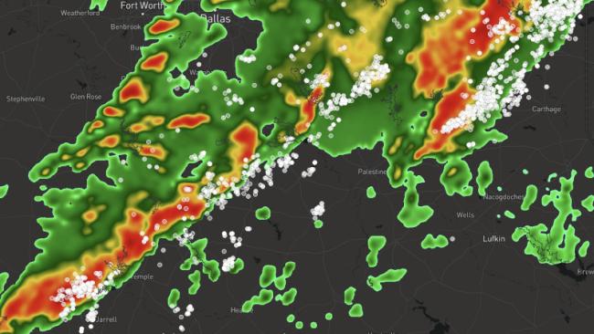
The NLDN detects and reports the location, polarity, peak current, and other characteristics of both cloud-to-cloud pulses and cloud-to-ground strokes. It even identifies the strikes most likely to cause damage or start fires.
Precision network
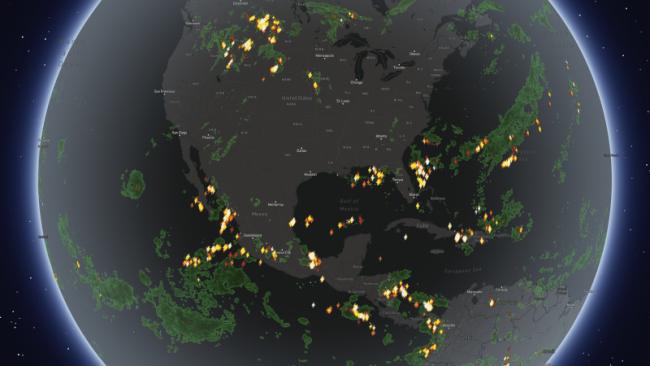
The NLDN detects total lightning across the contiguous United States and parts of Canada, with reliable coverage extending 200 km beyond the coastline.
84 m location accuracy
The NLDN detects and locates lightning events with a median accuracy of 84 meters, less than the length of a football field.
15 seconds to alert
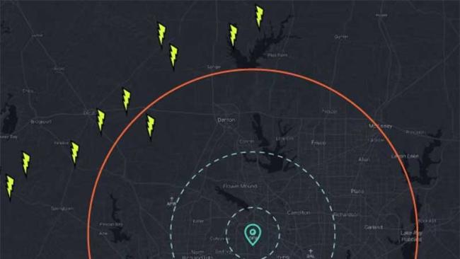
The NLDN detects and reports lightning in just 15 seconds. For every event more than 5 km (3 miles) away, you will get the alert before you hear the thunder.
99.99% network uptime
Smart network architecture delivers 99.99% uptime, uninterrupted data, and operational resilience.
95% classification accuracy
NLDN identifies in-cloud pulses and cloud-to-ground lightning strokes with 95% classification accuracy.
95% CG detection efficiency
NLDN accurately detects cloud-to-ground (CG) strokes, enabling operators to prioritize post-storm inspections.
99% stroke polarity accuracy
Accurate polarity data identifies positive strikes, which typically carry the highest risk of damage and fire.
2+ billion events
Xweather detects 99.9% of thunderstorms worldwide, recording 5–10 times more lightning events annually than any other network or technology.
The NLDN is part of the Xweather Lightning Network
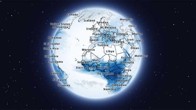
Powered exclusively by Vaisala sensors, the Xweather Lightning Network combines the NLDN, the GLD360 global network, and private member networks into a single source of standardized global lightning intelligence.
The result is unmatched detection capability: 99.9% of thunderstorms captured worldwide and over 2 billion lightning events recorded every year. Across the contiguous United States, the Xweather Lightning Network improves cloud-pulse detection by nearly 100% and extends the NLDN's range by 400 km.
NASA, the U.S. Armed Forces, the National Weather Service, and the Federal Aviation Administration rely on Xweather lightning data. So do 40% of Fortune 100 companies.
How to access lightning data from the NLDN

Talk to an expert
Talk to our weather experts to learn more about real-time and historical lightning data, lightning alerts, and severe weather solutions from Xweather.