
Weather for Drones

Safe and Efficient Drone Transport
Mitigate wind hazards with wind models created on the basis of lidar data to plan the safest and most cost-efficient drone operations.
Wind conditions can vary significantly at different altitudes, and a drone's electricity consumption also changes depending on current conditions. When operating in urban areas, it's critical that sudden changes in weather don't come as a surprise and result in drone crashes that may damage private property.
Vaisala’s accurate and reliable weather information provides drone developers and future operators with precision observations on drone landing/take-off sites.
- Navigate a drone through high winds
- Plan fleet journeys with weather nowcast and forecast
- Take off and land safely with hyperlocal weather sensor data
- Fly efficiently and safely above cities with wind lidar data

How Precise Weather Forecasting Leads to Flying Drones Safely
When you need to send medical supplies across the city urgently, how can you decide quickly and account for weather conditions including wind speed? Weather nowcast and forecasting gives you the information you need to make decisions quickly.
Products and Systems
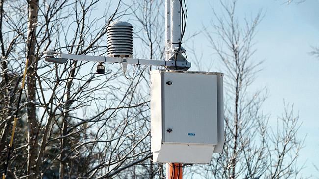
Automatic Weather Station AWS310
"Set and forget" this automatic weather station solution for long-term and short-term forecasts, and for reliable measurements of developing severe weather.
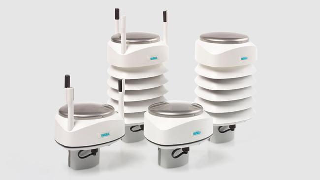
Weather Transmitter WXT530 Series
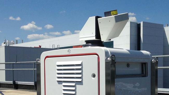
WindCube Scan

Global Lightning Detection Network GLD360

Contact Us
Ready to see how Vaisala’s sensing technology can be put to work for you? We’re here to help! Please contact us and our industry experts will be in touch quickly to discuss your weather and environmental monitoring challenges.