Expert article
Expert insights: Navigating the changing Arctic – why situational awareness is more critical than ever
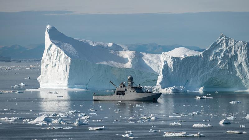


Interview with Tero Vauraste, Founder and CEO of Mariadi Oy, and Caitlin Hardy, Founder and Managing Director of Ness Sea Consulting.
The Arctic maritime environment is undergoing significant change. Climate change is reshaping ice conditions, geopolitical tensions are redefining international cooperation, and new technologies are transforming how vessels operate and how maritime organizations monitor activity across this vast and challenging region.
As Arctic maritime activity evolves, so do the demands on naval forces, coast guards, commercial shipping operators, and other maritime organizations. Reliable environmental information, advanced sensing technologies, and the ability to turn increasing volumes of data into actionable intelligence are becoming essential for safe and effective operations.
But does having more data automatically mean better situational awareness? And how will autonomous vessels, artificial intelligence, and changing geopolitical realities influence Arctic maritime operations in the coming years?
To explore these questions, we spoke with two experts who bring different but complementary perspectives to Arctic maritime operations.


How is the Arctic maritime operating environment changing, and what are the biggest challenges today?
Tero: The geopolitical situation has changed dramatically in a relatively short period. Just over a decade ago, Finnish icebreakers were operating along the Northern Sea Route on the Russian coastline, and there was considerable cooperation between the eight Arctic states.
Today, the situation is very different. Geopolitical tensions have fundamentally changed international cooperation, and we are seeing new Arctic strategies emerging from NATO, the European Union, and individual countries. We are also seeing a shift toward smaller coalitions and bilateral partnerships.
At the same time, climate change is altering Arctic ice conditions. However, less sea ice does not necessarily mean easier operating conditions. It means different and potentially less predictable conditions that maritime operators must be prepared for.
Caitlin: From an operational perspective, we are seeing increasing maritime activity in the Arctic, including interest in new shipping routes and a growing number of vessels operating in northern waters.
One of the challenges is understanding who is operating in these waters, where they are moving, and what their intentions might be. This includes conventional commercial traffic, but also vessels that may be operating without transmitting reliable identification information.
I look at maritime domain awareness from two perspectives: the broader picture of activity across the Arctic and the individual vessel's ability to operate safely.
Both require better information, but the types of data and how we use them can be quite different.
Why is situational awareness particularly challenging in Arctic maritime operations?
Caitlin: The Arctic is an enormous geographical area with limited infrastructure and extremely demanding environmental conditions. It is difficult to maintain a comprehensive picture of everything happening across the region.
We have many different sources of information, including satellite observations, radar, Automatic Identification System (AIS) data, onboard sensors, and increasingly, autonomous platforms.
The challenge is bringing these fragmented data sources together into something meaningful.
For example, a vessel may appear in one position according to AIS, while radar or camera observations indicate that it is somewhere else. Understanding these discrepancies is important both for navigation safety and maritime security.
We also need to consider what happens onboard individual vessels. Good situational awareness should provide information that helps operators recognize risks they might otherwise miss, particularly in darkness, poor visibility, or challenging weather conditions.
Tero: Situational awareness is also much broader than what happens on the surface of the sea.
We need to think from the seabed all the way to space. Critical underwater infrastructure, including communication cables and pipelines, has become an increasingly important security concern. At the same time, satellite technologies are providing new capabilities to monitor activity across large maritime areas.
This means integrating information from different domains and understanding how it supports decision-making at strategic, tactical, and operational levels.
However, one important question remains: does more information always make operations safer? I don't think that is necessarily the case.
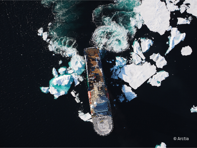
Can too much information actually become a safety risk?
Tero: Absolutely. Technology can improve situational awareness, but it can also create new risks if operators become too dependent on it.
I remember an incident from my time as a watch officer in the Finnish Coast Guard. We were navigating in Arctic conditions, and I noticed that the radar picture did not match the position indicated by our GPS.
When I checked more carefully, I realized the GPS position had not updated for 15 minutes, even though the vessel had been moving. We were only about 10 minutes away from running aground.
That experience demonstrates why human observation and professional judgment remain so important. You cannot simply trust a system without understanding what it is telling you.
Today, we also have to consider deliberate interference, such as GNSS jamming and spoofing, which can make navigation and situational awareness even more challenging.
Caitlin: I completely agree. We are asking mariners to process enormous amounts of information, and that can lead to task saturation.
Modern vessels have more connected systems than ever before, and shore-based teams can continuously communicate with crews. While connectivity has many benefits, it also increases the demands placed on people onboard.
The opportunity is not simply to provide more data. It is to provide the right information, at the right time, in a form that genuinely supports decision-making.
For example, infrared cameras can detect objects in darkness or at distances where human observation becomes difficult. Automated systems can help identify something unusual and bring it to the operator's attention.
The technology should complement human capabilities rather than overwhelm the people responsible for the vessel.
What role do weather and environmental data play in improving Arctic maritime safety and operational readiness?
Caitlin: Weather and environmental information are fundamental to safe vessel operations, particularly in remote areas where conditions can be very different from what broader forecasts suggest.
Satellite data provides valuable information, but there can be differences between predicted conditions and what a vessel actually experiences.
For example, onboard motion sensors can help us understand how a vessel responds to sea states, including slamming and other movements that affect safety, equipment, and fuel consumption.
When this information is processed onboard, operators can make more informed decisions about speed and routing.
This is particularly valuable in the Arctic, where environmental conditions can change and the consequences of poor decisions can be significant.
Tero: Weather and ice information are essential at every level of maritime operations.
Climate change is making accurate ice observations increasingly important. We need to understand not only how much ice exists, but also how conditions are developing and what that means for different types of vessels.
Satellite-based Earth observation, combined with local measurements and other sensing technologies, offers significant opportunities to improve this understanding.
Ultimately, without reliable information about environmental conditions, it becomes much more difficult to make the right operational decisions.
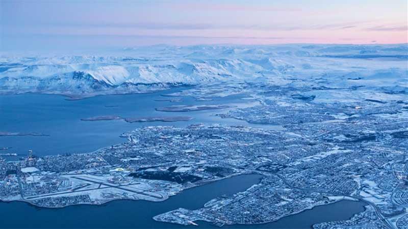
Autonomous and uncrewed vessels are becoming more common. How will they change Arctic maritime operations?
Caitlin: Uncrewed surface vessels (USVs) and uncrewed underwater vehicles (UUVs) are becoming increasingly important tools for collecting information and supporting maritime operations.
One of their biggest advantages is that they can operate as mobile sensor platforms, gathering data from locations that would otherwise be difficult or expensive to monitor.
They can collect weather and sea-state observations, map underwater environments, monitor maritime activity, and help improve our understanding of conditions across large geographical areas.
There is also an interesting two-way relationship between autonomous vessels and environmental information.
Autonomous vessels need reliable weather and environmental data to operate safely and efficiently. At the same time, they can collect observations that help validate forecasts and improve our overall understanding of conditions at sea.
For example, a USV can measure actual sea states and compare them with satellite predictions. This information can benefit not only the autonomous platform itself but also other vessels operating in the same region.
Tero: There is one fundamental difference between crewed and uncrewed vessels.
With a crewed vessel, you must consider both what the vessel can withstand and what the crew can withstand. These limits are not always the same.
With an uncrewed vessel, the focus shifts to the capabilities and limitations of the vessel and its technology.
But there is another important difference. Without people on the bridge, you lose direct human observation of the surrounding environment.
That means the vessel becomes even more dependent on its sensors and systems. The quality, frequency, and reliability of environmental information become increasingly important, particularly when monitoring weather, waves, and ice conditions.
How do you see artificial intelligence transforming maritime situational awareness?
Tero: AI will be one of the major developments shaping Arctic maritime operations over the next five to ten years.
We are already collecting enormous amounts of information from satellites, sensors, vessels, and other systems. AI can help us process and combine these data sources in ways that would be difficult to achieve manually.
This becomes especially important when we look at situational awareness across different domains, from underwater infrastructure to maritime activity and space-based observations.
The potential is significant, but we still need to ensure that the information supports reliable decisions.
Caitlin: I expect to see much greater integration of situational awareness technologies onboard vessels.
We are moving toward systems that can help operators identify what matters instead of presenting every available data point.
This is also closely connected to the development of autonomous and remotely operated vessels.
Maritime organizations face workforce challenges, and technology can help supplement the capabilities of people onboard. In some cases, remote operations centers may allow operators to monitor or manage vessels from shore.
However, regulatory frameworks and the ability to demonstrate that these technologies are safe and reliable will be critical.
Technology is developing quickly, but adoption depends on trust, clear responsibilities, and practical operational benefits.
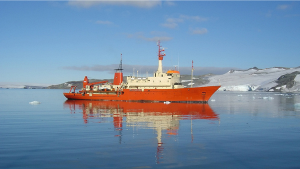
Looking five to ten years ahead, what will be the biggest changes in Arctic maritime operations?
Tero: I see three major factors.
The first is geopolitics. Unfortunately, I do not expect tensions in the Arctic to disappear in the near future. These developments will continue to influence maritime activity, international cooperation, and security requirements.
The second is climate change. Sea ice will continue to change, potentially creating opportunities for additional commercial transportation. However, the development of new shipping routes will depend on geopolitical conditions, infrastructure, and icebreaking capabilities.
The third is artificial intelligence and its ability to transform how we process and use information for situational awareness.
Together, these developments will have a significant impact on how the Arctic is used and managed.
Caitlin: I believe we will see much more automation and integration of technologies that support mariners and improve operational safety.
One area with enormous potential is ocean mapping. We still have major gaps in our understanding of the seafloor, and autonomous surface and underwater vessels can help accelerate the collection of this information.
I also hope we will become much better at delivering tailored information to operators.
Rather than giving mariners every available piece of data, we should focus on providing the information that helps them make the right decisions in their specific situation.
In an environment as challenging as the Arctic, that could make a real difference to safety.
If you could make one improvement to Arctic maritime operations today, what would it be?
Tero: I would like to see greater harmonization of ice classification rules.
When we operated Finnish icebreakers in Arctic waters, including transits through the Northwest Passage, we encountered significant challenges because different countries and classification systems applied different ice-class requirements.
These differences can complicate operations even when a vessel has the technical capability to navigate the conditions.
Harmonizing these requirements would make international Arctic operations more straightforward. Unfortunately, given the current geopolitical situation, achieving this may be difficult.
Caitlin: From a U.S. perspective, I would like to see stronger icebreaking capabilities and greater use of the data and technologies already available to us.
Icebreakers are essential for Arctic access and operations, and Finland has particularly strong expertise in designing and building them.
Improving these capabilities, together with better environmental monitoring and autonomous technologies, would help strengthen Arctic readiness.
From more data to better decisions
As the Arctic maritime environment continues to evolve, the need for reliable situational awareness will only increase.
The insights shared by Tero Vauraste and Caitlin Hardy highlight that operational resilience depends on more than any single technology. It requires a combination of trustworthy environmental observations, advanced sensing capabilities, integrated information systems, and experienced people who can interpret the information and act on it.
Autonomous platforms, satellite technologies, and artificial intelligence will undoubtedly expand our ability to monitor Arctic environments. But the real value lies in transforming the information they provide into practical, reliable intelligence that supports safer arctic operations.

Webinar: Building resilience, awareness, and readiness for Arctic maritime operations with environmental intelligence
Want to explore these topics in more detail? Watch Vaisala's expert webinar, Building resilience, awareness, and readiness for Arctic maritime operations with environmental intelligence, featuring Tero Vauraste, Caitlin Hardy, and Alex Faulconer, Business Development Manager for Defense at Vaisala.
Naval weather
Turn weather awareness into operational advantage. Vaisala’s naval weather solutions deliver reliable environmental data for confident mission planning and safer operations, even in harsh maritime conditions.