How to enhance your city climate resilience with local weather and air quality observations
How the changing climate is affecting cities
What exactly is city climate resilience, and how do you know whether your city is prepared to deal with the changing climate? Today we explore what resilience really means and how to improve your community’s level of preparedness — no matter what size or environmental challenges you may have.
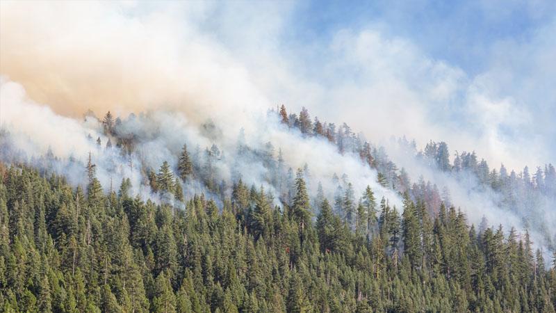
Cities are facing increasing severe weather and environmental threats with our changing climate. Wildfires from heat waves, flooding during heavy rain, and blizzards threaten the lives of people and can dramatically impact buildings, city infrastructure and transportation.
Severe weather may also cause sudden environmental events. Heavy rain, for example, can cause sewage systems to flood. Dust and even gas can suddenly be released from industrial facilities if they are hit by a storm.
City climate resilience is the capacity for key decision-makers to proactively enhance preparedness and protect residents from the impact of sudden, extreme weather and environmental hazards. The right information makes it possible to save lives and infrastructure.
What can we do to prepare?
It is important to invest in preparedness at the local level, so cities can warn the public of unusual weather or environmental events. Therefore, local weather and air quality observations are key for enabling today’s cities to proactively protect communities.
Compact weather and air quality sensors, plug-and-play weather stations and thunderstorm tracking software provide accurate hyperlocal observation data in real time. The data can be used to alert citizens and officials of dangerous conditions, and to localize and enhance the accuracy of weather forecasts.
Today’s modern atmospheric monitoring solutions such as ceilometers can provide advanced information about the state of the atmosphere, like the height and composition of the mixing layer. As an example, the Vaisala Ceilometer CL61can be successfully used to detect forest fires as it can detect smoke plumes and differentiate them from water clouds.
Compact weather and air quality sensors can help decision-makers to develop key services, alert the public of hazardous conditions and protect what matters most. Complementing surface sensors with remote sensing is a key factor in understanding air quality at ground level.
A combination of instruments and data services, like Vaisala Thunderstorm Manager lightning detection system, are highly effective at providing comprehensive, real-time, actionable data on hyperlocal weather and air quality conditions.
Making the information available
Accurate measurements are the foundation of resilience, and the data needs to be accessible to the right people to take action. City authorities and decision-makers, maintenance and other city service providers, residents and tourists can all benefit from localized current and forecast weather and air quality conditions.
Whether your city has infrastructure in place for installing and connecting sensor data or you’re just getting started, Vaisala has the expertise to integrate air quality and weather information through cloud, on-premise, and API options to make the information easy to use and share.

Add new comment