Improved Weather Forecasting Capabilities for the Bahamas

The Bahamas is investing in a new nation-wide meteorology network to keep its citizens and visitors safe from extreme weather to keep its citizens and visitors safe from extreme weather. Over recent years, severe weather has become more frequent in the Caribbean. So improving the weather forecasting capabilities of the Bahamas Department of Meteorology will help improve warnings and preparedness for severe weather and will assist in minimizing loss of life and property from the ravages of tropical cyclones (hurricanes, tropical storms, and tropical depressions) affecting the country.
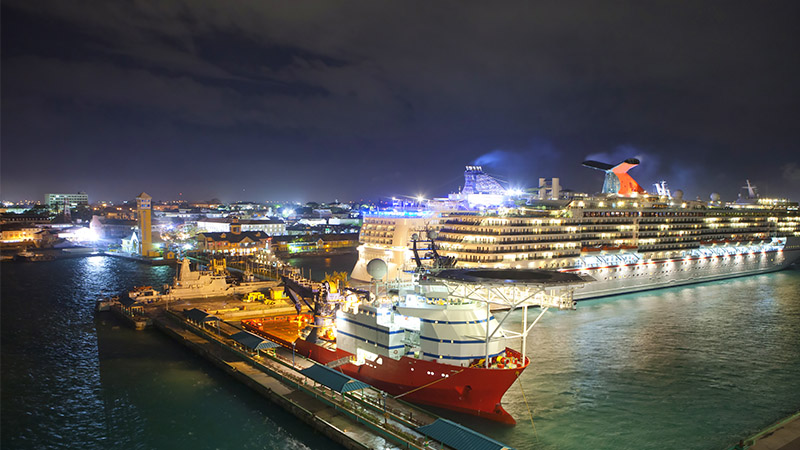
“The Bahamas is called the ’Jewel of the Caribbean’ because of its beauty, and because of its geographical location to the United States of America it is envied by many. But this comes at a price.
From the beginning of June to the end of November, is the official hurricane season,” says Trevor Basden, Director of the Bahamas Department of Meteorology. The Bahamas is an archipelago of some 700 islands scattered over 100,000 squares miles of ocean. The weather in the northern islands can be completely different from that in the southernmost islands. Moreover, the islands are low and flat, prone to any rise in sea level, and in particular to flooding from heavy rains and to storm surge from hurricanes.
Equipment to Cover all Islands
Currently, The Bahamas has only one Doppler Weather Radar installed at the Lynden Pindling International Airport, in the capital city Nassau, on the island of New Providence. It covers the Northwest Bahamas but only a portion of the Central Bahamas. The Southeast Bahamas is completely without coverage. After Hurricane Joaquin caused widespread destruction in the Central Bahamas and the Southeast Bahamas in 2015, the Government of The Bahamas heeded the cry of the meteorology department and decided to invest in a network of Doppler Weather Radars that will cover the whole country whose land and sea area is on par with that of Cuba.When looking for the best suitable provider, the Department of Meteorology soon turned to Vaisala.
“We have over 40 years of history with Vaisala, and Vaisala has provided the most robust and reliable equipment. In this case, it was also important that Vaisala thought of the whole picture for The Bahamas – not just trying to made the deal. Training, for example, was an essential part of the contract for us,” Mr. Basden points out. The contract was signed with Vaisala partnering with FMI on October 26th 2016. Vaisala will provide The Bahamas with four Doppler Weather Radars, nine Automatic Weather Observation Systems (AWOS) for airports, sixteen Automatic Weather Stations (AWS), one Direct Readout Ground Station (DRGS), and related services. All of the weather observation systems will be networked enabling remote monitoring and diagnostics from a central location by Vaisala Observation Network Manager. FMI will provide meteorological software and training.
The deliveries will start at the beginning of 2017, to be completed by the end of 2019.
Keeping People Safe
“Thanks to the weather radars, we will be able to see more accurately the current weather and when tropical cyclones are in The Bahamas – how fast they are moving and how severe they really are.”
The radars will help in building a more reliable early warning system in order to alert the population of significant or severe weather conditions.
The AWOSes will assist the airports to operate more efficiently and thus improve aviation safety as operators are more accurately advised of the weather parameters over and in the vicinity of the airports.
“The Bahamas has some five million visitors annually, and we have 28 government owned airports on our islands. The heavy rains, lightning, thunderstorms, low visibility and wind shear associated with severe weather events are definitely a hazard to aviation, so we need to be able to service the airports better as well as meet International Civil Aviation Organization (ICAO) and World Meteorological Organization (WMO) standards and regulations.”
